-40%
San Antonio/Bexar County Detailed Region Wall Map w/ Zip Codes
$ 39.33
- Description
- Size Guide
Description
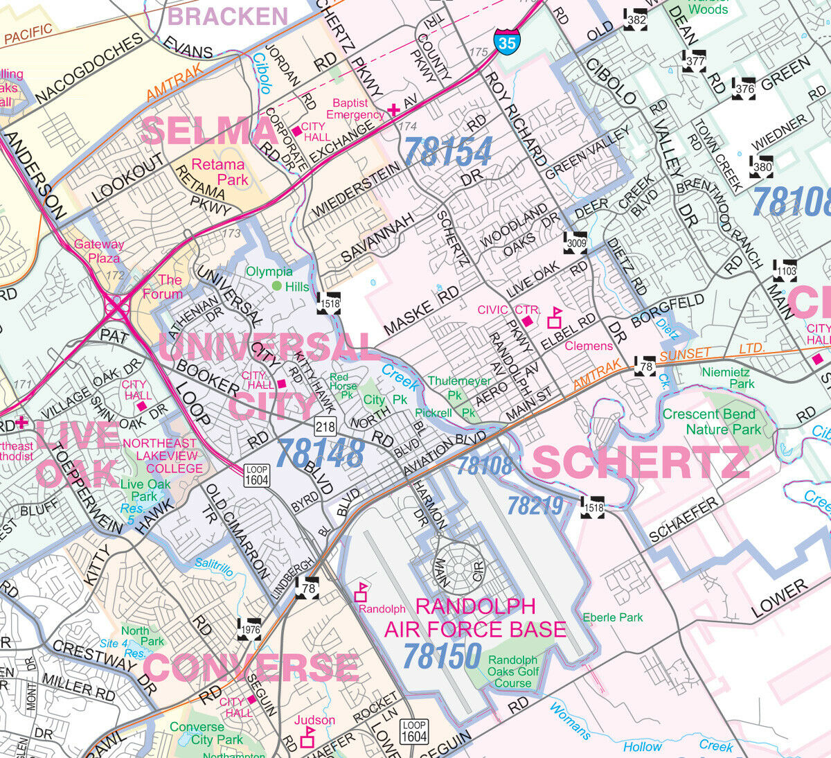
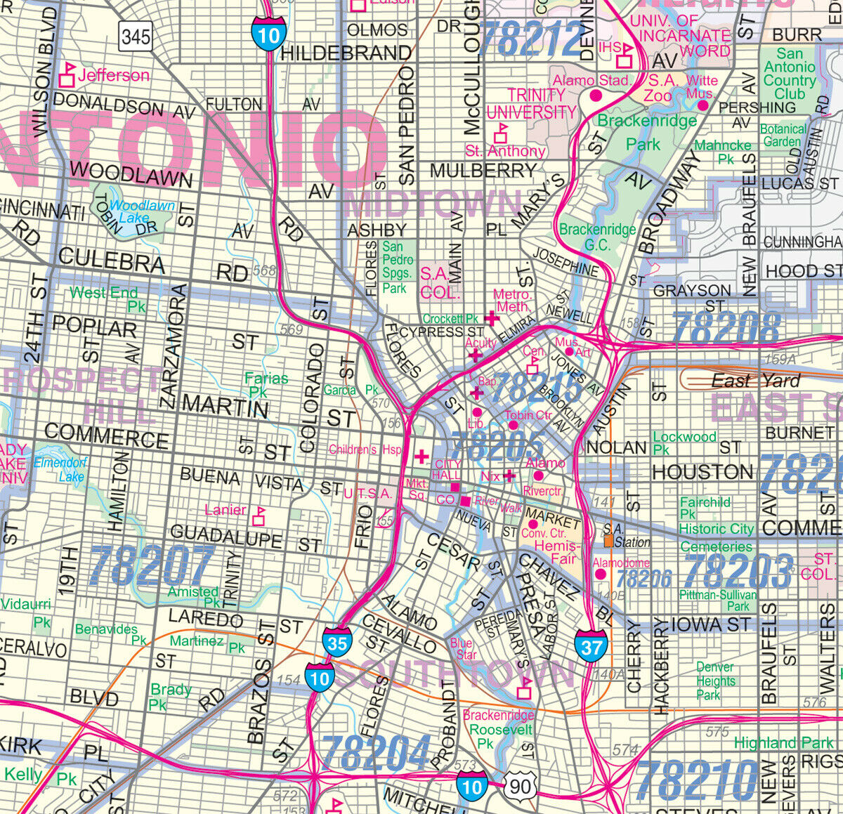
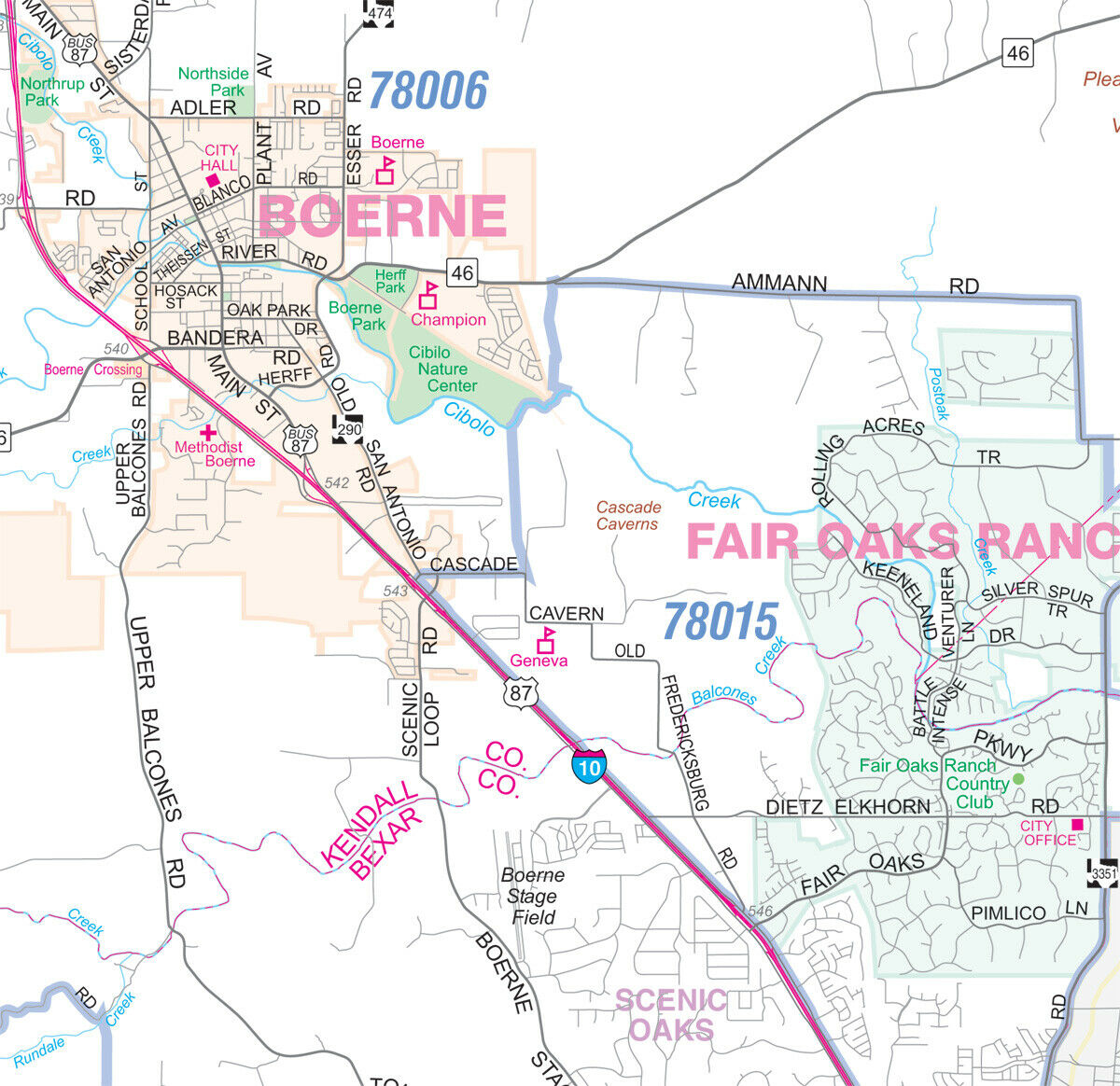
Sharp, functional, and up-to-date large wall map of the greater San Antonio region.From Seguin to Castroville and New Braunfels to Sandy Oaks, this map offers a unique combination of detail and coverage.
Every street is shown, with all major roads labeled (including all Farm-to-Market designations). Freeways (with exit numbers), toll roads, passenger and freight rail lines + stations, airports, hospitals, colleges, parks, high schools, military installations, major points of interest, rivers, major terrain features, and current zip codes are all included.
36"x48" or 44"x59" sizes available. Paper or Laminated/ideal for dry-erase markers.


